geOrchestra Spatial Data Infrastructure
geOrchestra is a free, modular and interoperable Spatial Data Infrastructure software born in 2009 to meet the requirements of the INSPIRE directive in Europe.
Story
The geOrchestra project started back in 2009 when the Brittany spatial data infrastructure was under construction. Users and developers decided to place the source code under an open licence. An independant project steering committee was appointed to drive the project, address the emerging community, and vote changes.
Subsequently, many people studied, adapted, and translated geOrchestra modules for their own needs.
Initially hosted on a Brittany-hosted software repository, the source code finally moved to GitHub in 2012. This greatly improved code accessibility and obviously made contributions easier. The commit rates grew up dramatically.
made by people for people
Build your own Spatial Data Infrastructure
geOrchestra's core features a security proxy and a single-sign-on authentication system. Next to this core are independant and interoperable modules to build your own Spatial Data Infrastructure :
GeoNetwork
a data catalog
GeoServer
a map and features server
GeoFence
an advanced data access list manager
GeoWebCache
a map tile server
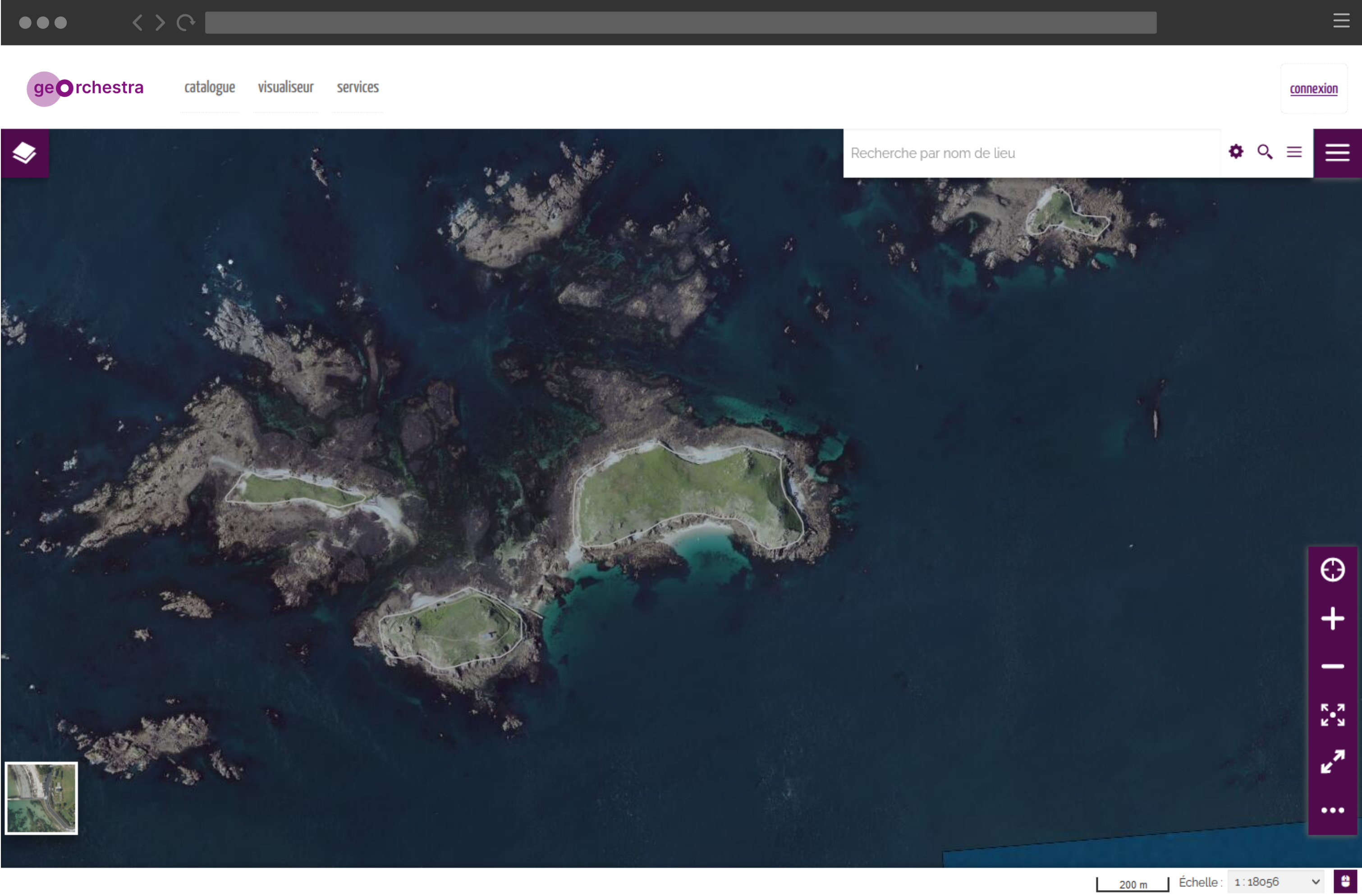
MapStore
an advanced web map viewer
Console
a user, orgs & roles manager
Analytics
a module to display data usage statistics
DataFeeder
a data integration assistant
and several other admin-oriented modules.

geOrchestra meeting
Strasbourg // 10 to 12 June 2026