Community
geOrchestra is a community-driven project. Anyone can contribute, and each contribution may be reused freely by everyone.
Contributions may take several forms:
- participation to the mailing lists : the main list or the developers list
- writing or improving the documentation,
- helping improve this website,
- creating bug reports and submitting enhancement requests,
- reporting security issues (in that case, please do not fill a bug report and instead send a mail to psc@georchestra.org),
- contributions to the code, either patches or “pull requests”,
- funding for new features.
Who develops geOrchestra ?
The commiters list only gives a partial view.
The GitHub ecosystem allows wide contributions via the “Pull Request” principle. These contributions are always intensively reviewed and tested, eventually leading to their acceptance and integration (“merge”).
How to find help ?
We are always pleased to give a hand on the #georchestra channel (osgeo.org Matrix server).
The project runs two mailing lists, which you can freely join to ask for help:
- georchestra@googlegroups.com is the main mailing list for users and data admin as well,
- georchestra-dev@googlegroups.com is the developers and sysadmin mailing list
Use psc@georchestra.org to reach the Project Steering Committee.
No support will be provided at this address.
Yearly meetings
Every year, users and developers from the community meet in a different place to share experiences, sum up good practices and elaborate the roadmap.
Previous geOcom events took place:
- Strasbourg in 2026, hosted by Région Grand Est
- Rennes in 2025, at the invitation of Rennes Métropole
- Lille in 2024, at the invitation of the Métropole européenne de Lille
- Saint-Mandé for the 2023 edition
- Perros-Guirec in 2022, at the invitation of JDEV
- online for the 2021 edition
- at the city and communauté d’agglomération du Puy-en-Velay, Auvergne, France, en 2019,
- at the “Hotel de Région” (location of the Géopicardie partnership), Amiens, France, in 2018,
- at CampToCamp, Chambéry, France, in 2017,
- at the “Maison de l’Agriculture et de la Forêt d’Aquitaine” (location of the PIGMA partnership), Bordeaux, France, in 2016,
- at the “Maison de la Région” (partnership CIGAL - Coopération pour l’information géographique en Alsace), Strasbourg, France, in 2015,
- at “Centre Régional Auvergnat de l’Information Géographique” (CRAIG), Clermont-Ferrand, France for 2014,
- at Agrocampus Ouest, Rennes, France, for 2013.
Who’s using geOrchestra ?
Subnational level
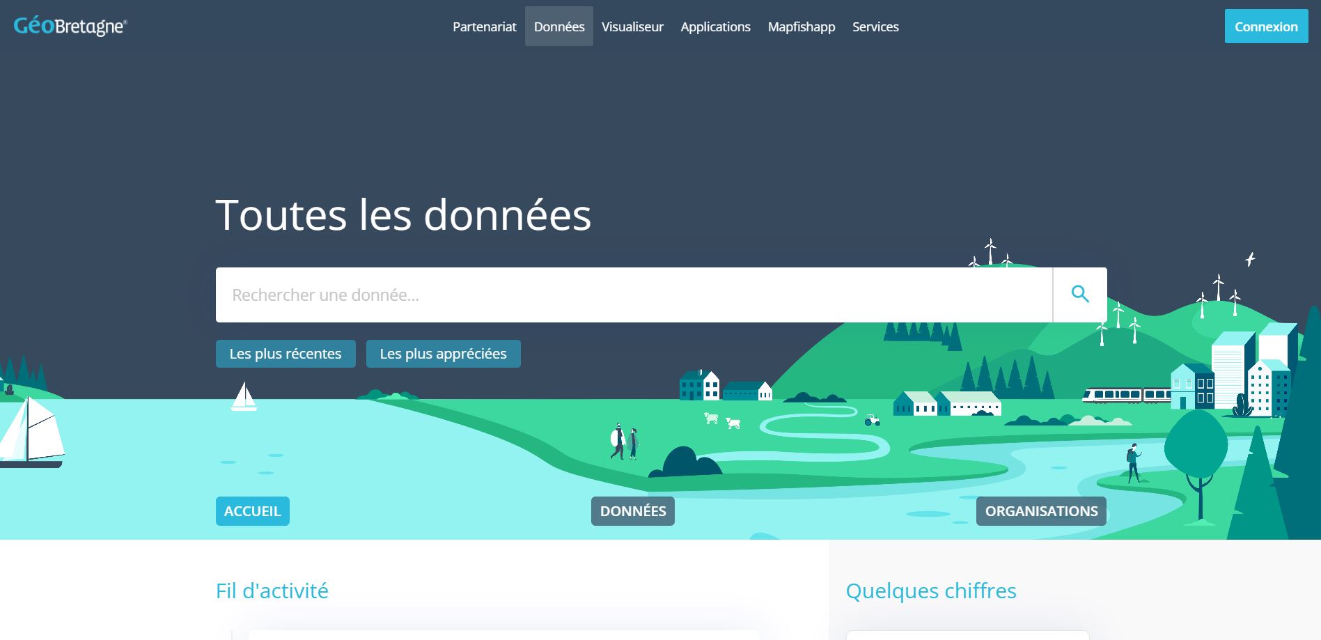
Bretagne (France)
with GeoBretagne partnership
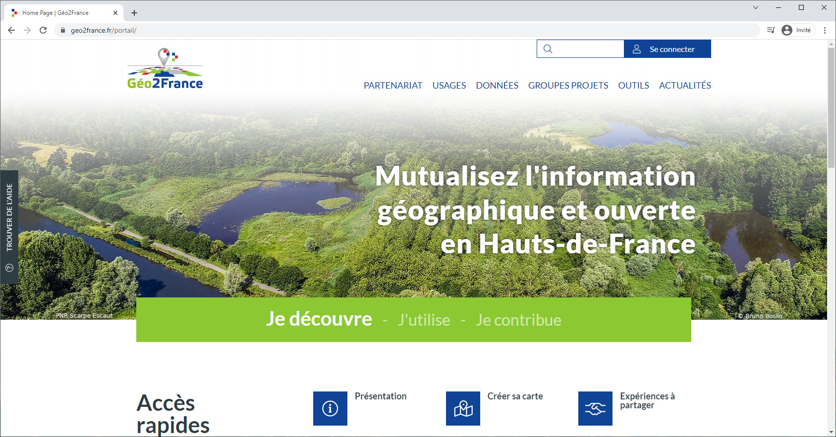
Haut de France (France)
Géo2France project
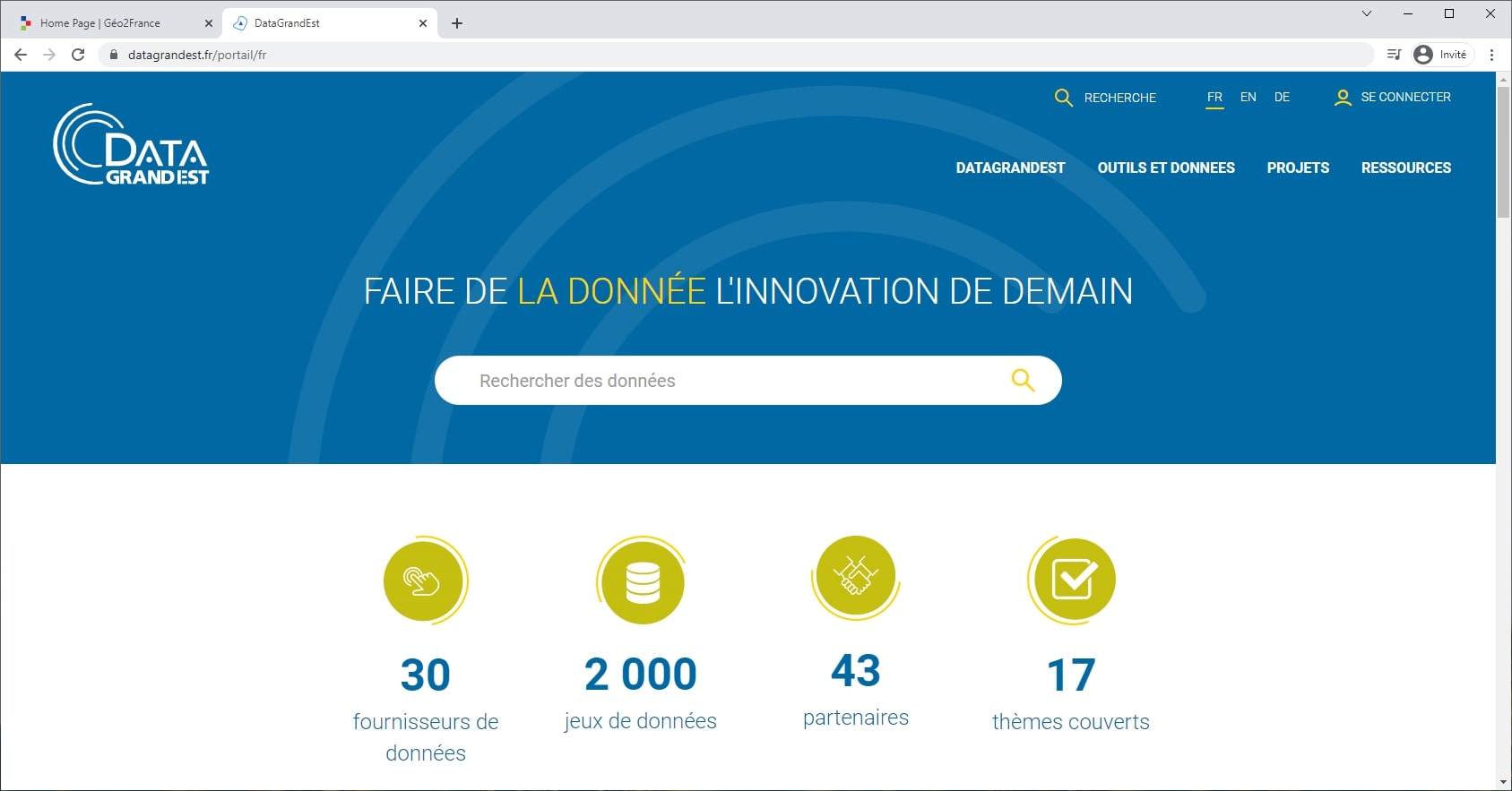
Grand Est (France)
DataGrandEst project
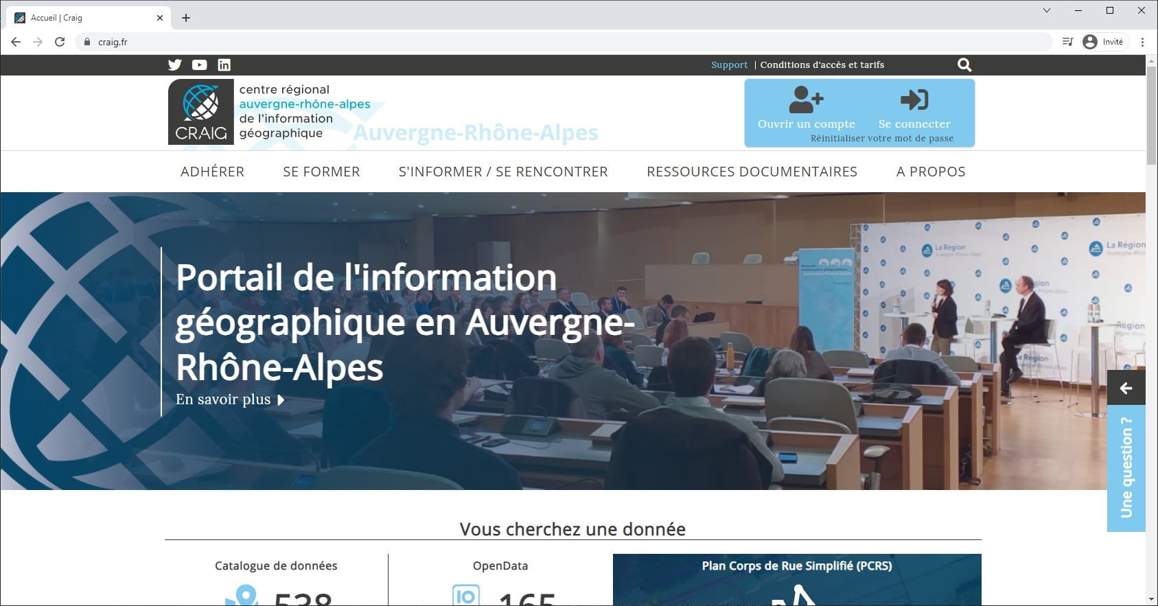
Auvergne-Rhône-Alpes (France)
Centre Régional Auvergnat de l'Information Géographique
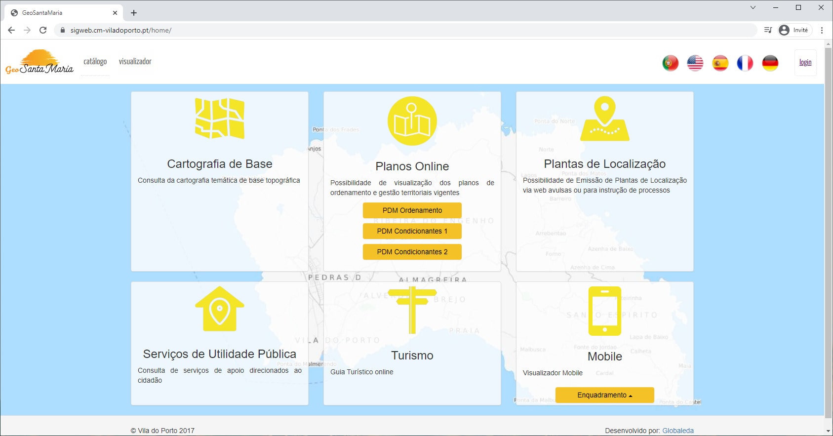
Santa Maria (Açores)
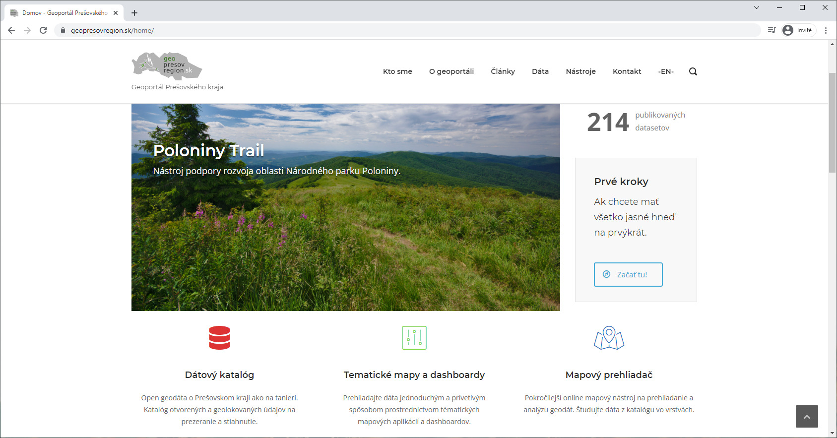
Prešov Region (Slovakia)
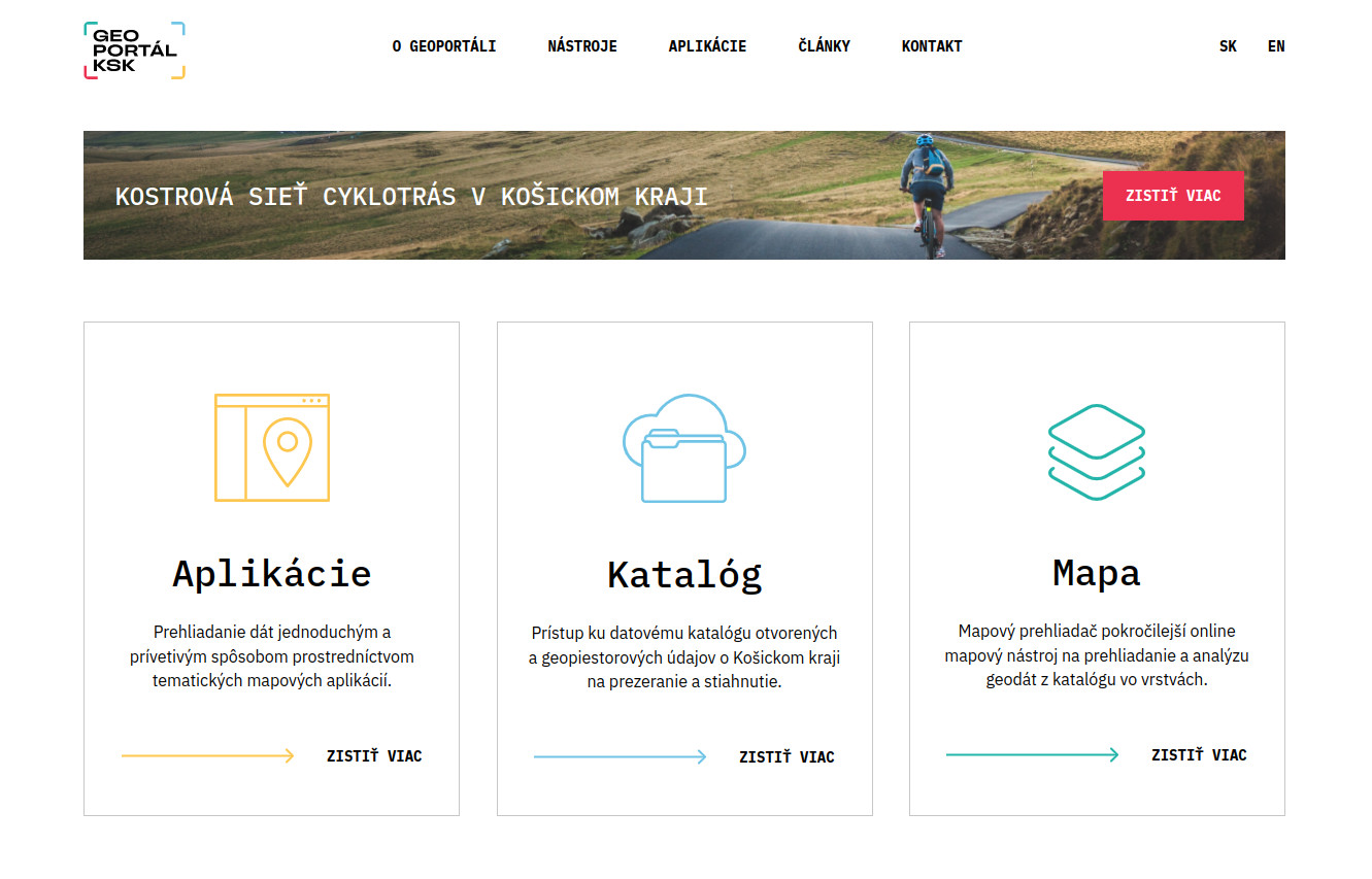
Košice self-governing region (Slovakia)
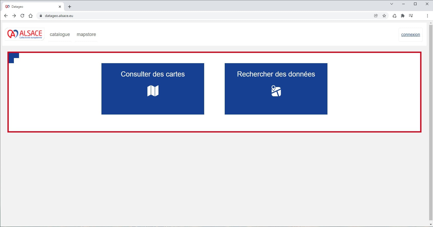
Alsace
with Datageo project
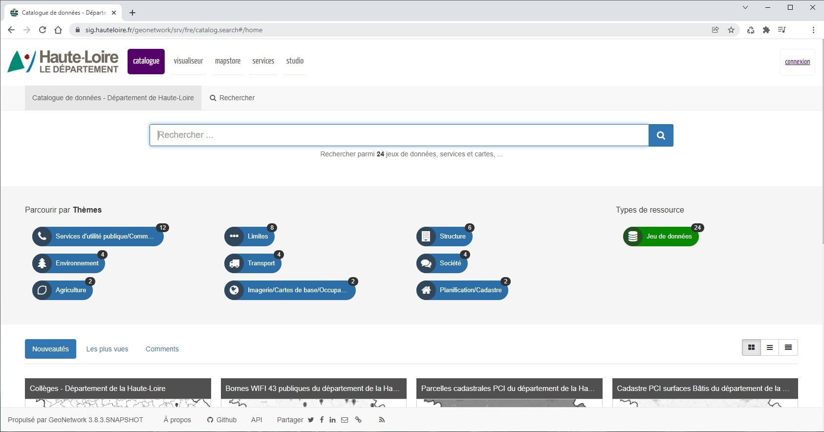
Département Haute-Loire (France)
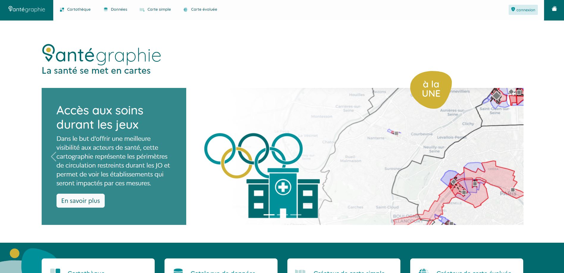
GCS SESAN & ARS Île-de-France
with Santégraphie project
Urban area level
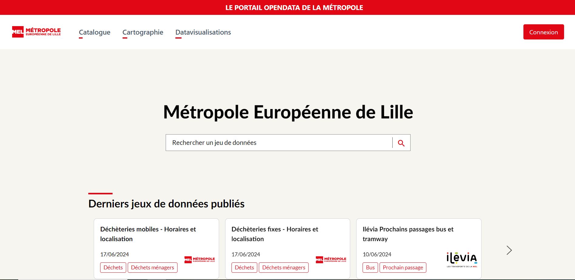
Métropole Européenne de Lille (France)
OpenData portal
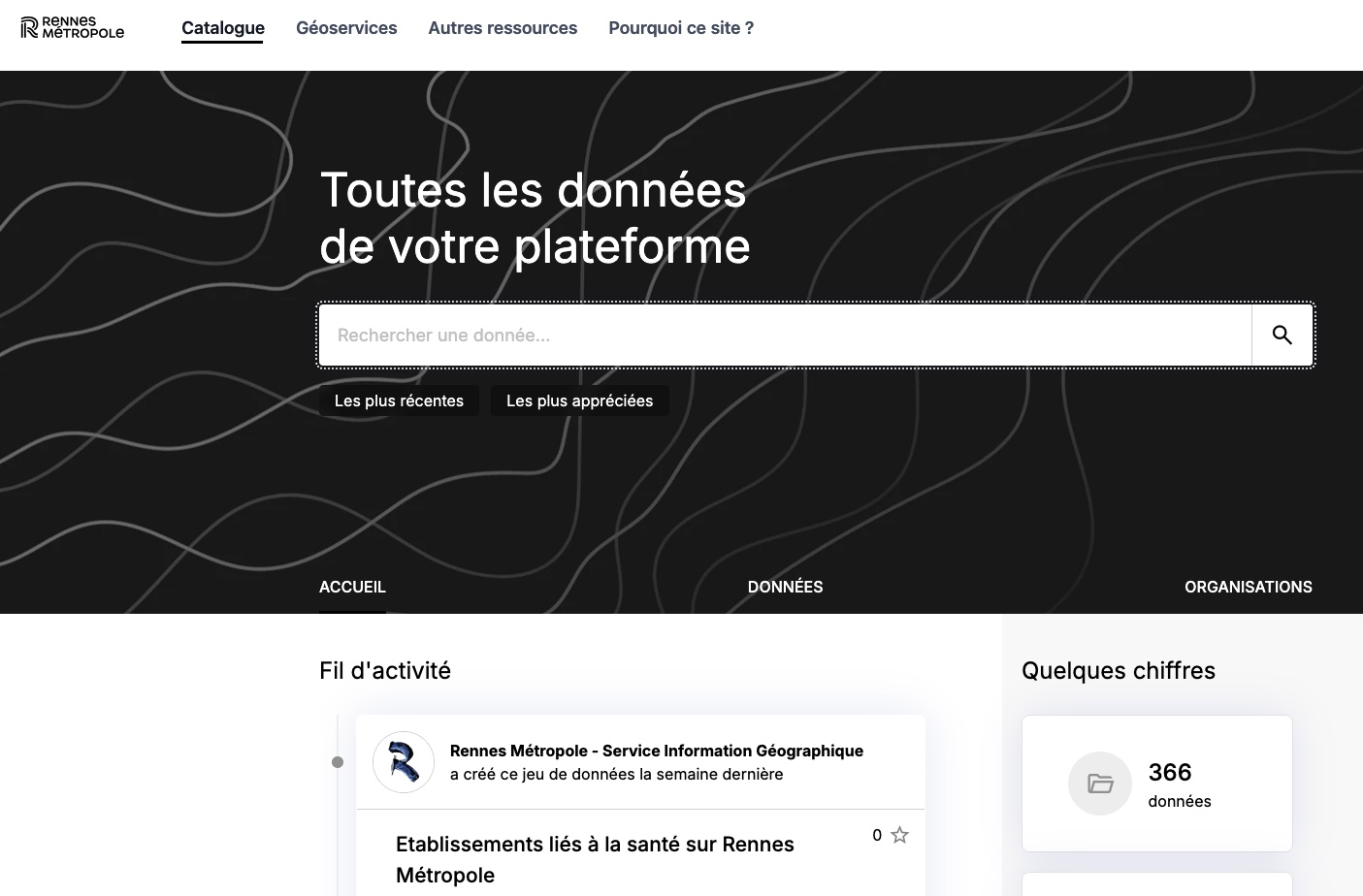
Rennes Métropole (France)
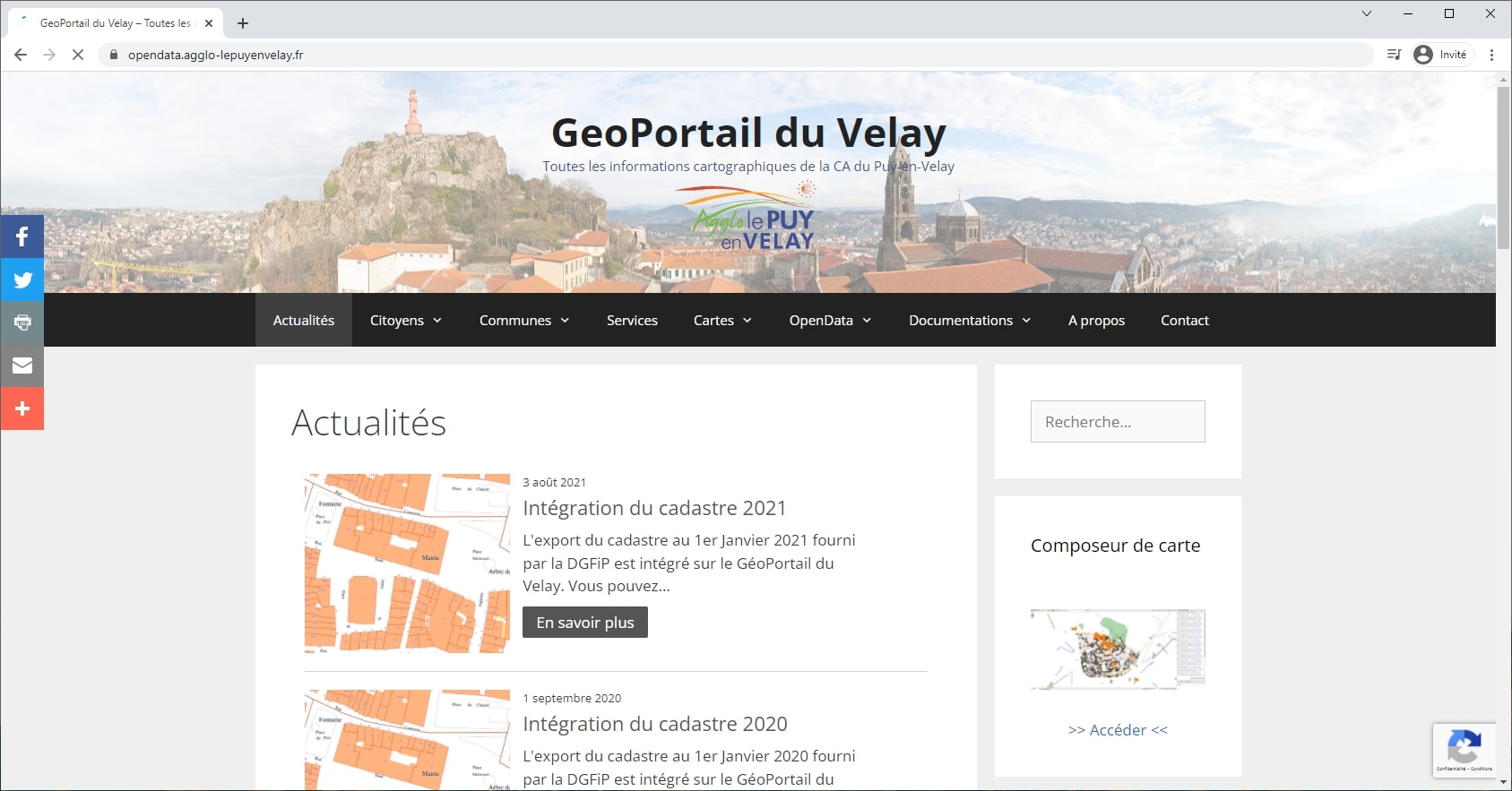
Communauté d'Agglomération du Puy-en-Velay (France)
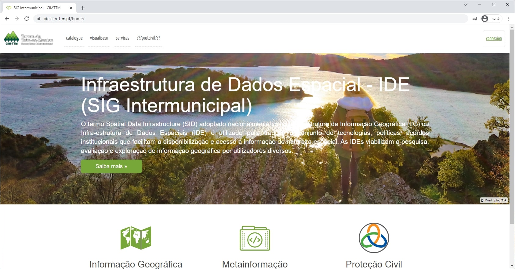
Intermunicipal Community of Terras of Trás-os-Montes (Portugal)
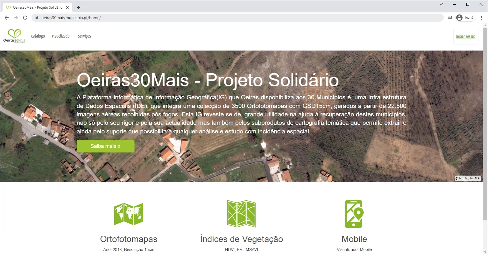
Município de Oeiras (Portugal)
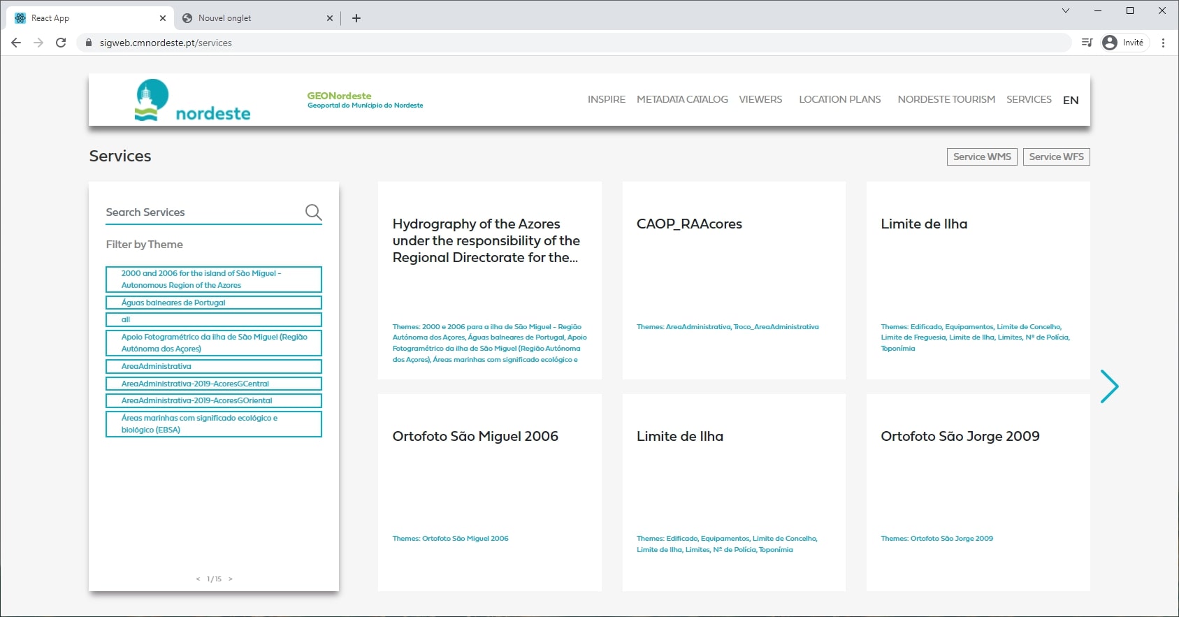
Municipality of Nordeste, São Miguel Island (Portugal)
Research and education:
INRAE
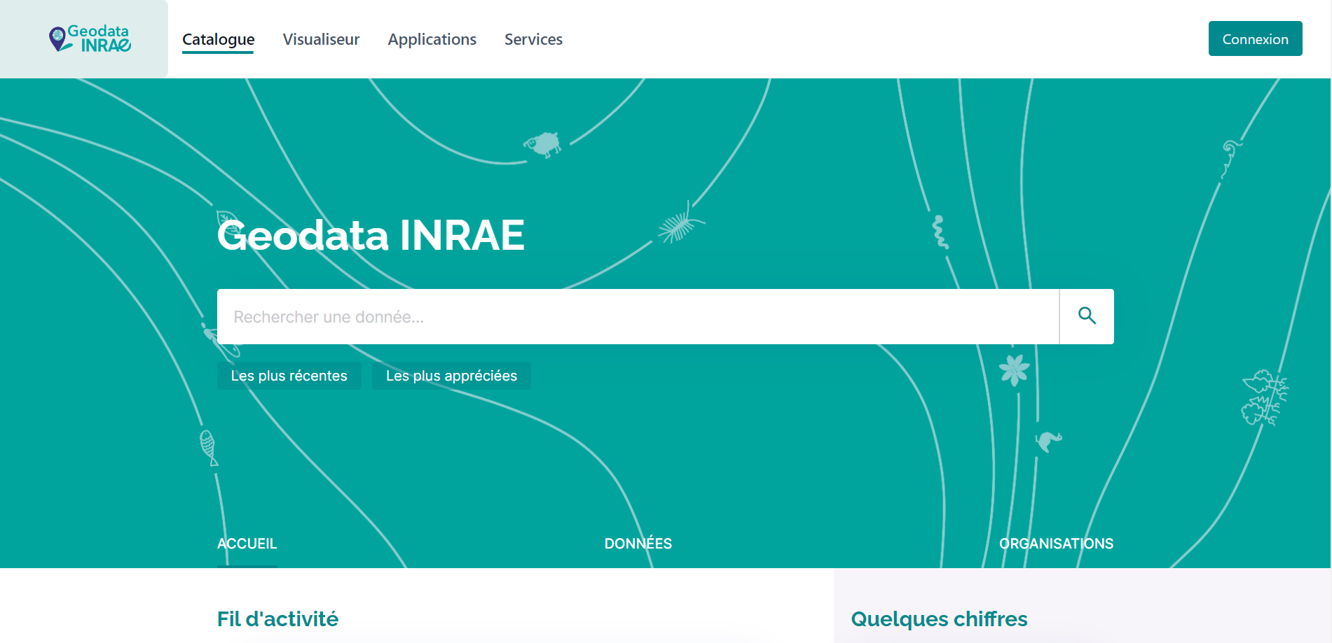
GeoData INRAE
CIRAD
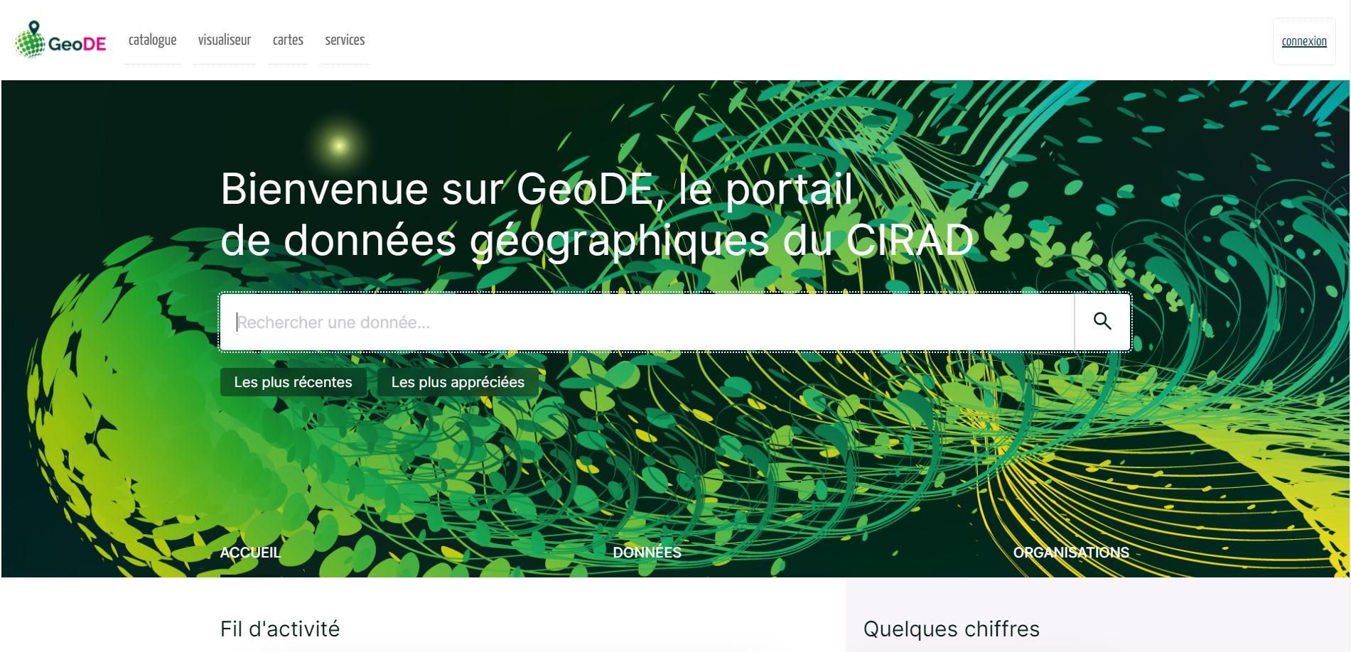
GeoDE
IRD
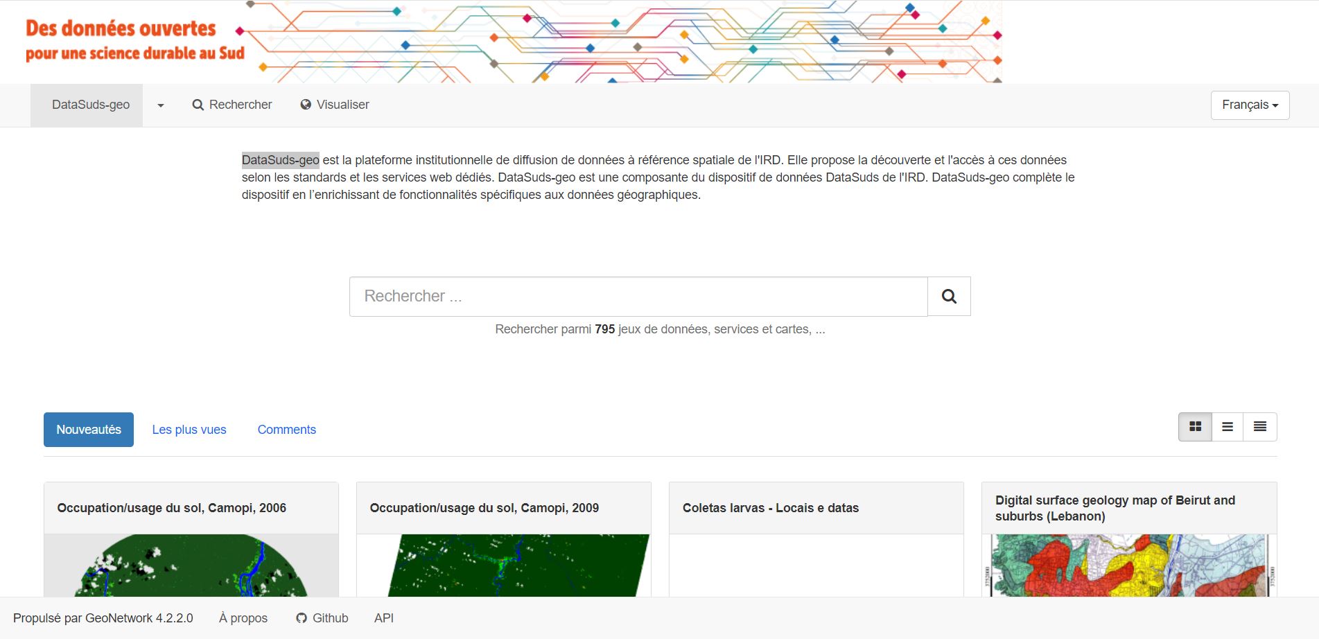
DataSuds-geo
UMR SAS (INRAE - Agrocampus Ouest, Rennes)
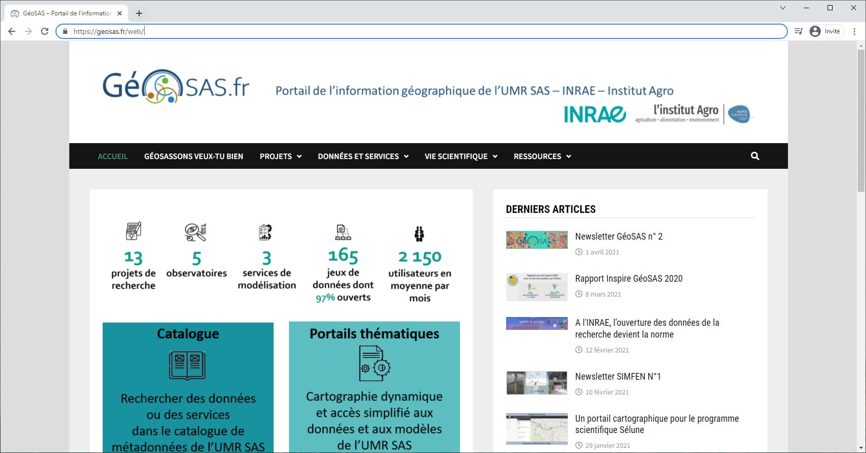
GéoSAS
UMR Théma (Besançon - Université de Bourgogne)
UMS BBEES
at the French 'Musée National d'Histoire Naturelle', Paris
UMR Littoral, Environnement, Télédétection, Géomatique (CNRS - Nantes, Brest, Rennes, Caen)
Indigeo
Observatoire des Sciences de l’Univers de Rennes
OSURIS
Companies

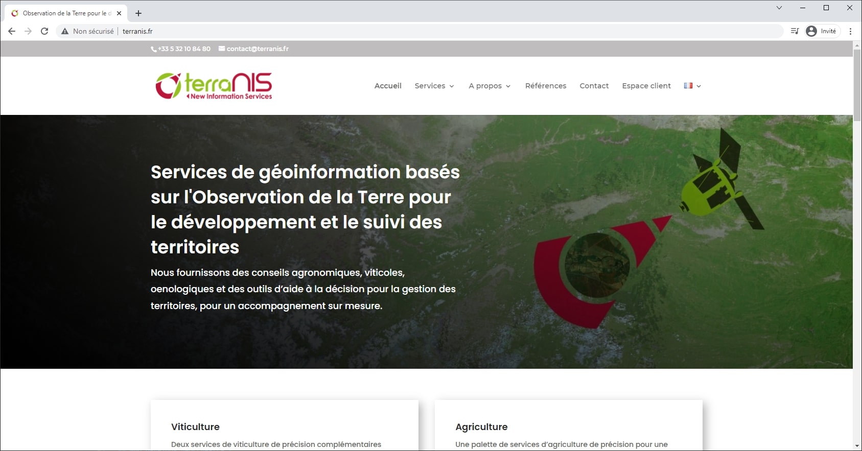
TerraNIS
a French company specialized in the design, development and commercialization of geoinformation services in agriculture and environment domains
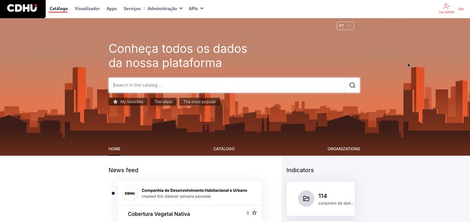
Companhia de Desenvolvimento Habitacional e Urbano (São Paulo - Brazil)
CDHU is a Public Housing company: we build houses for low income and vulnerable people in São Paulo State
International organizations and associations:
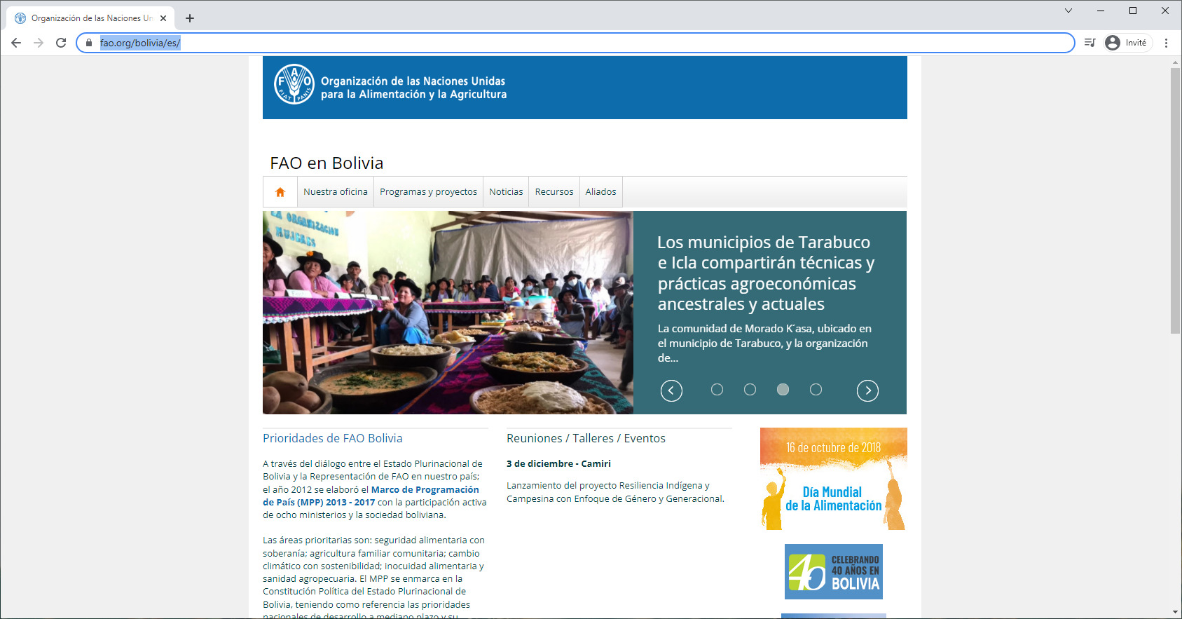
FAO representation in Bolivia
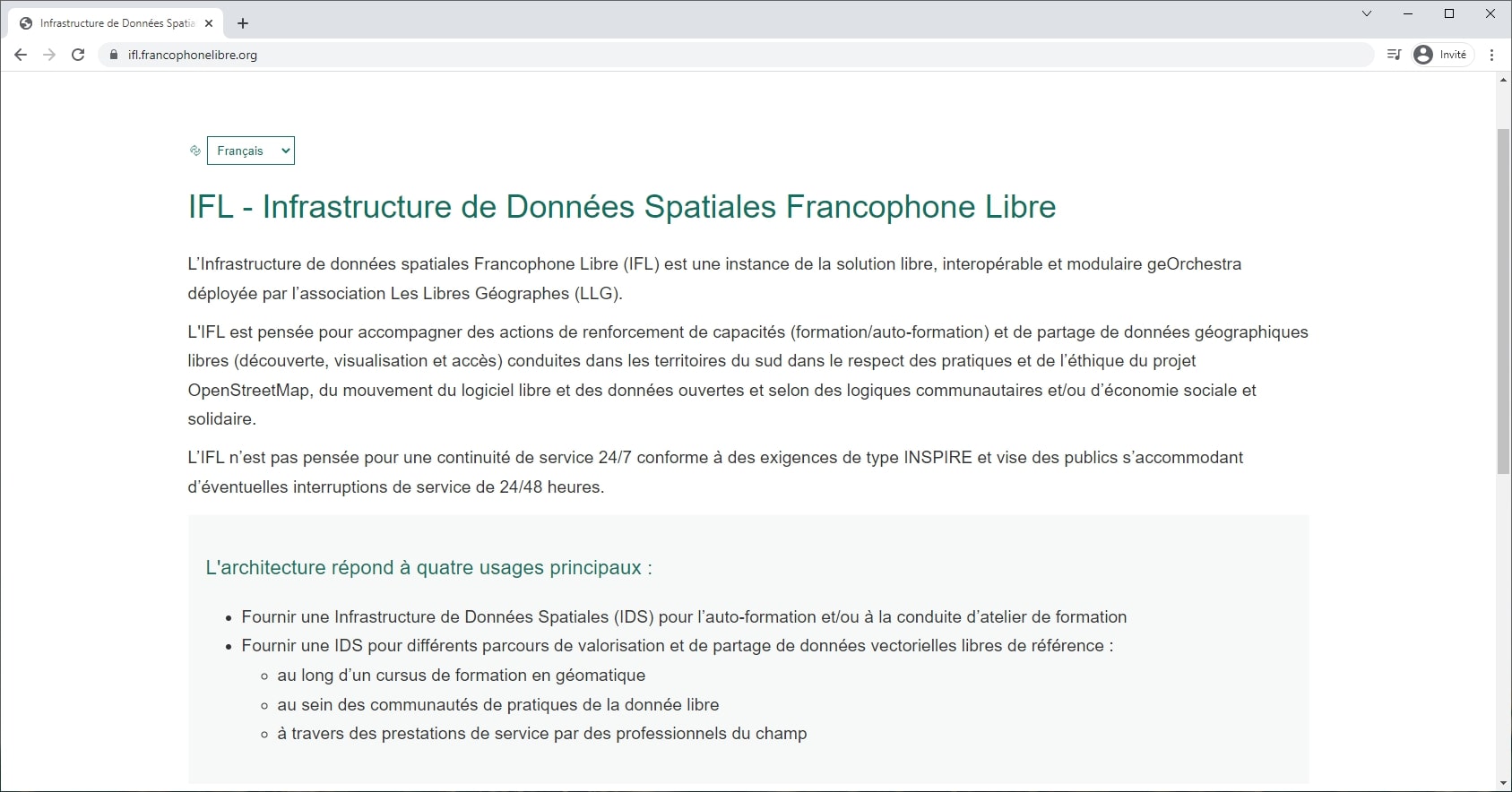
Les Libres Géographes
with IFL project
… and many more we don’t know about. Please contact us to register your geOrchestra !